The Placemaking Round-Up
A biweekly newsletter with public space news, resources, and opportunities.
The Biweekly Bazaar
A curated dispatch on all things public markets plus the latest announcements from the Market Cities Program.
A biweekly newsletter with public space news, resources, and opportunities.
A curated dispatch on all things public markets plus the latest announcements from the Market Cities Program.


One of our core values at Project for Public Spaces is local leadership. We believe that outside experts should first and foremost serve as facilitators and trainers, helping the people that know a place best acquire the tools they need to improve it and care for it themselves. Whenever we facilitate a placemaking process, we treat the development of place and people as our double bottom line.
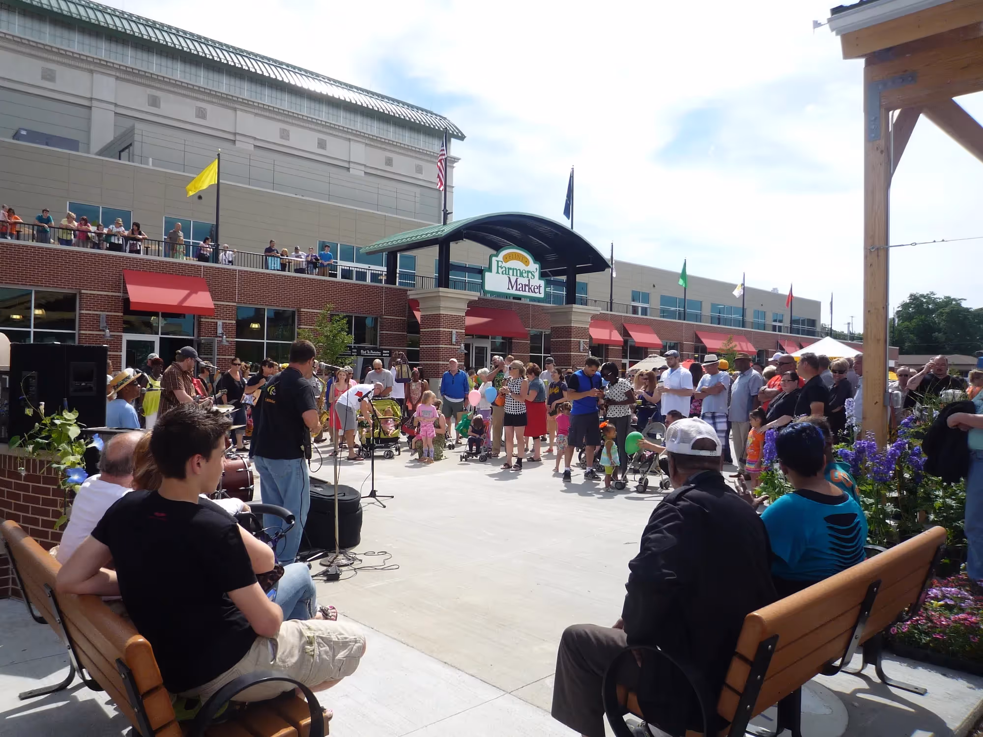
Constructive community participation is at the heart of our approach. Placemaking is defined by the way it thoughtfully involves community members at each step in the process of translating their shared vision for a public space into reality. We work with our clients to design a meaningful process for their unique context that brings together a diversity of local stakeholders. We also intentionally engage underrepresented groups in the process by meeting people where they are with a range of fun, easy, and convenient strategies. We summarize our findings in a vision report, which typically includes a public space program, precedents, and priorities for action.
Our interdisciplinary team has a wealth of experience working with local partners to create and transform public spaces. With over 45 years of history to draw upon, Project for Public Spaces specializes in making your community vision into a reality through a unique mixture of experimentation and observation, capacity building, and technical assistance.
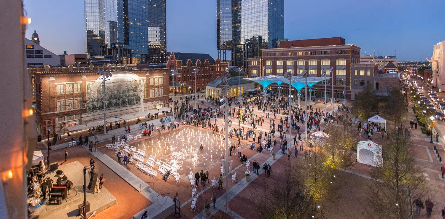
As we work toward your priorities, we collaborate with local landscape architects, architects, designers, artists, makers, and others to infuse every detail with the talent and creativity that exists in every community. Informed by working directly with hundreds of communities around North America, our pragmatic approach to implementation uses low-cost, low-risk tactical urbanism experiments to find design elements and amenities that work for both the users and managers of a public space. We hold particular expertise in the design of public markets, which often require close attention to logistics, food access and safety, and event planning.
The ongoing management, programming, and care of public spaces is one of the most underestimated factors in the success of well-used and well-loved public spaces. As we progress through the process of community visioning, design, and implementation, we make sure public spaces thrive long after our work is done by developing effective management plans and building the capacity of local partners to carry them out.
Our program plans include a menu of activities, amenities, and events that can take place in a public space during every time of day, every day of the week, and every season. Our management plans include community-driven models of governance and equitable approaches to public safety, procurement, and partnerships with social service organizations. We offer particular expertise in management plans for public markets, including feasibility assessments, tenant mix and leasing, and multi-year operating proformas and financing plans.