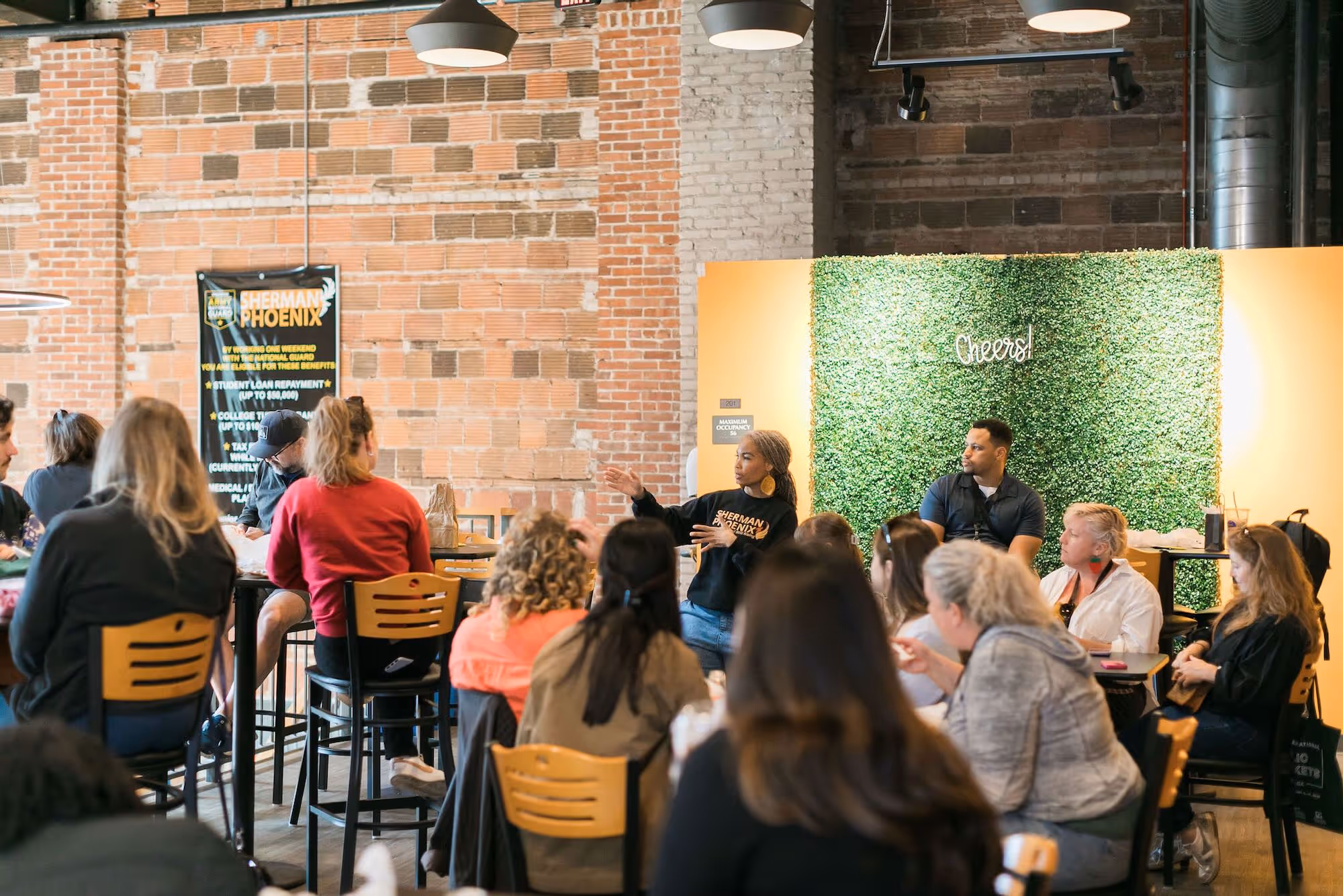
The Placemaking Round-Up
A biweekly newsletter with public space news, resources, and opportunities.
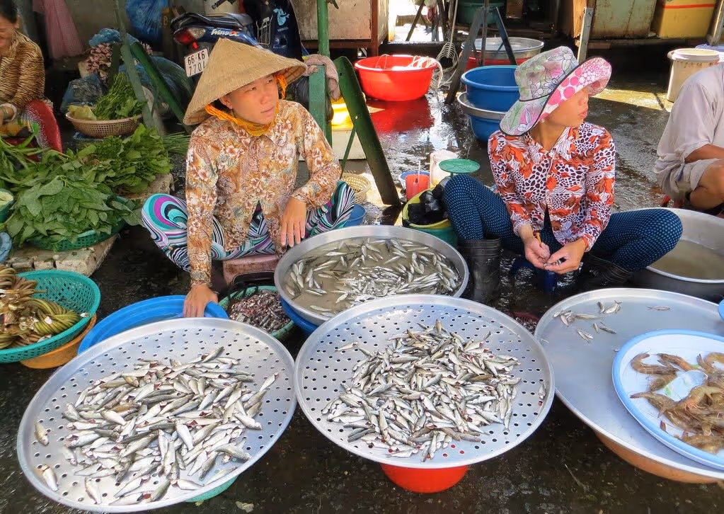
The Biweekly Bazaar
A curated dispatch on all things public markets plus the latest announcements from the Market Cities Program.
A biweekly newsletter with public space news, resources, and opportunities.
A curated dispatch on all things public markets plus the latest announcements from the Market Cities Program.
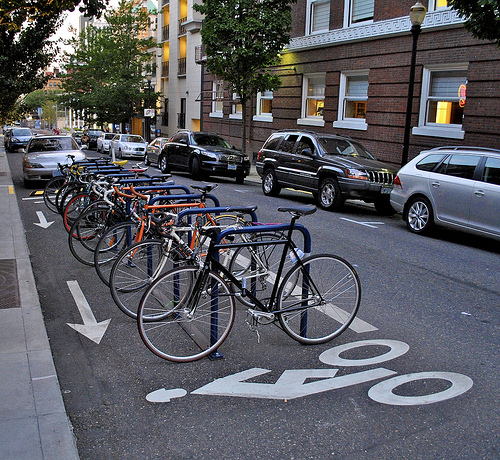
We’ve long said that one simple idea can transform the way we think about transportation planning: streets should not simply be for moving cars, but should also be places for people.
Recently some of PPS’ Transportation team attended the 90th annual meeting of the Transportation Research Board to see who else is in the field of transportation was thinking about streets not only in terms of mobility but also as quality public spaces.
Here, PPS' Pippa Brashear and Aurash Khawarzad tell us what they thought of the meeting and share some new transportation resources.

---
The theme of this year’s conference was “Transportation, Livability, and Economic Development in a Changing World,” which made us think that there might be some focus on walkability and place-making. It did not disappoint! Sessions devoted to “pedestrians” and “livability” held their own among more traditional topics such as pavement engineering, rail planning, and highway operations, among others.
What makes a place “walkable”?
The consensus within the field of transportation is that having more people use non-motorized transportation more often is critical to sustainability, economic development, and good public health.
Getting people walking and biking – practicing active forms of transportation – is essential to finding solutions for some of the biggest challenges of our time. But while recognizing the importance of walking and biking is one matter, actually getting more people to walk and bike is another.
One critical first step in promoting walking and biking is to identify the factors that influence people’s decisions to bike, walk, take transit, and/or drive. At PPS, we believe that creating good places that rely on human-scale transportation is essential to getting people out of their cars and onto their feet. Here are some things we learned from presenters at TRB:
What the combination of this and other research suggests is that there are a variety of factors that may influence people’s decisions to walk. The picture that emerged from the conference was one that we at PPS have observed for some time: the factors affecting people’s decision to walk, are the types of factors that make a good place: uses & activities, access & linkages, comfort & image, and sociability.
When it comes to street life, it seems the presence of people depends on whether the street provides access to the destinations where people want to be, whether or not the street is a comfortable and legible place to be, and also whether there are other people around.

How to Quantify Walkability
A strong emphasis at this year’s conference, and within the field of transportation in general, is not only on identifying what makes a street walkable but also on measuring and quantifying their impacts. At the conference, several techniques were discussed:
There's no one metric for walkability
It is exciting to see these emerging tools for measuring walkability, which not only educate communities about factors that influence good walking environments, but will also serve as a practical tools for community involvement and planning.
We understand the demand for measures and metrics, and applaud these efforts. But we offer a word of caution, what much of this research shows is that there is no “one” metric. While there are key principles and more commonalities than differences, people and places are unique, and walkability tools will need to adapt to community needs. We hope they continue to evolve to reflect that demand.
Free Transportation Resources from the TRB
One of the things we took away from the conference was access to the TRB's portal of full transportation research articles and resources which the TRB makes available through its website. You can search for information on topics like pedestrians and bicyclists, public transportation, security and emergencies, livability and economic development in a changing world.
Connect and learn more
Check out the Young Professionals in Transportation blog: they've set up a page where you can hear more about the conference and get in touch with other attendees.
The rich text element allows you to create and format headings, paragraphs, blockquotes, images, and video all in one place instead of having to add and format them individually. Just double-click and easily create content.
The rich text element allows you to create and format headings, paragraphs, blockquotes, images, and video all in one place instead of having to add and format them individually. Just double-click and easily create content.
Body Text Body Link
The rich text element allows you to create and format headings, paragraphs, blockquotes, images, and video all in one place instead of having to add and format them individually. Just double-click and easily create content.
Here is some highlighted text from the article.

Headings, paragraphs, blockquotes, figures, images, and figure captions can all be styled after a class is added to the rich text element using the "When inside of" nested selector system.
Headings, paragraphs, blockquotes, figures, images, and figure captions can all be styled after a class is added to the rich text element using the "When inside of" nested selector system.
Headings, paragraphs, blockquotes, figures, images, and figure captions can all be styled after a class is added to the rich text element using the "When inside of" nested selector system.

We are committed to access to quality content that advances the placemaking cause—and your support makes that possible. If this article informed, inspired, or helped you, please consider making a quick donation. Every contribution helps!
Project for Public Spaces is a 501(c)(3) tax-exempt organization and your donation is tax-deductible within the guidelines of U.S. law.
.avif)